Mary Stevens15 May 2023
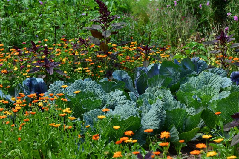
Recently I was invited to a community-screening of Plant Power, a fantastic film directed by Florence Ayisi and featuring two inspiring community growers in the St Paul’s area of Bristol, Judit Davis and Amrish Pandya. (Both Judit and Amrish received funding as part of our Local Nature Innovation Fund – you can find out more about this here) The film shows how Judit took on ownership of neglected spaces in her community during lockdown, cleaning them up and transforming them into havens for people struggling with grief, or isolation. They are spaces full of joy – and they continue to thrive.
Helping nature thrive and growing food in your neighbourhood
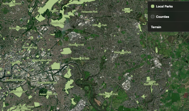
We have a vision of thriving communities full of Judits and Amrishs, helping people and nature to thrive together. We’re developing our Postcode Gardener project to create a sustainable model to grow and nurture green spaces in nature-depleted neighbourhoods. But how can you identify available space if you are just starting out on the journey to bring more greenery or more food-growing to your neighbourhood? And if you’ve got your eye on a suitable space - how can you find out how to access it? Once you do get started, or you’re making plans, how can you make your patch visible digitally to other people so they can get involved too?
Making visible land available for growing
We have been exploring the issue of making land for nature visible in different ways over the last few years, for example through our Woodland Opportunity Mapping. This has brought us together with a group of food-land mappers, convened by the Urban Agriculture Consortium. Through this group, we have learned about a wide range of initiatives to map the land available for growing. But none of this knowledge was readily available to our partners working on the ground in Bristol, London and Birmingham to identify priority areas for future postcode gardeners. Many mapping projects were still at pilot stage, so only relevant to one area, or required specialist software and skills. It seemed that each new neighbourhood would need to start from scratch.
So we have done two things. We invited Maddy Longhurst, the convenor of the Urban Agriculture Consortium, to produce a compendium of existing community-scale projects and tools that postcode gardeners and related projects (such as the Wildlife Trusts’ Nextdoor Nature project) might find useful.
Maddy’s compendium is available here. We also asked her to reflect on where there might be gaps in provision from a users’ perspective and how these could be addressed. Her report, which accompanies the compendium is available here.
What did we learn?
-
Information about suitable land remains a big barrier to growing. It’s not just a question of who owns the land, or where it is, but also what’s happened on it before? What’s the soil like?
-
Land Explorer is currently the only tool that provides easy access to public and commercial ownership data. But Land Explorer isn’t widely known outside a specialist audience (and, for example, even the Wildlife Trusts’ guidance doesn’t reference it) so how can it be better integrated with community-owned local maps? And what about the urban assets that are too small for Land Explorer to pick up, such as abandoned planters?
-
It is important that maps should be 'owned' by the communities who create and use them, not reliant on costly developer expertise or payments to a company who then 'gatekeeps' the map or the data.
-
Software and tools are of course only part of the answer. As Maddy puts it, “the mapping tool and, critically, the process of creating and using it, must be considered as part of a constellation of interoperable and complementary tools.” The dialogue and the process involved in creating the map are still the most important things.
What next?
Maddy’s suggestions include developing a business model canvas for any new maps to support the makers with clarity about what they want the map to do in the short and long term - who is using it, what it needs to show, how it will be maintained, what wider system it is part of, and so on.
We are also using Maddy’s research to explore the support that our postcode gardeners need - how can they quickly access a tool that will unlock both information about land and support community engagement and participation?
And all the maps are only as good as the data behind them. There is still too much land ownership data that is hard to access or hidden behind paywalls. The National Soils Map is not publicly available, despite being produced under a public contract. As Guy Shrubsole has recently argued in a submission to the House of Lords, opening up this data and dropping search fees for land registry data are important policy changes that would support communities to take action to bring back nature and access healthy food.
And what if we all enjoyed a Right to Grow? Our friends at Incredible Edible are currently backing a campaign for a new law that would require Local Authorities to map land suitable for growing and give citizens the rights to nominate land if they felt it had been unfairly left off. There would also be a presumption in favour of cultivation (with the right permissions in place). The Food Land Mapping group is actively looking to develop a prototype to build on existing work and show what’s possible.
If you would like to get involved you can contact them here.
To find out more about our Postcode Gardener projects, please contact us.


